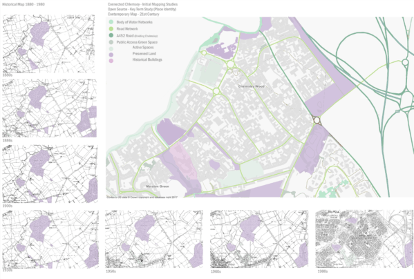
Following the Key Terms mapping we them looked at mapping the layers of information in Chelmsley Wood.
It was from our learning from the key terms task that would inform the direction of the mapping layers, with the following maps looking in more detail as aspects which impact upon the resident experience of living conditions within Chelmsley Wood.
The map layers explore the role of networks, travel distances, ownership of land, public/ private, anchors of place identity and flood plains.
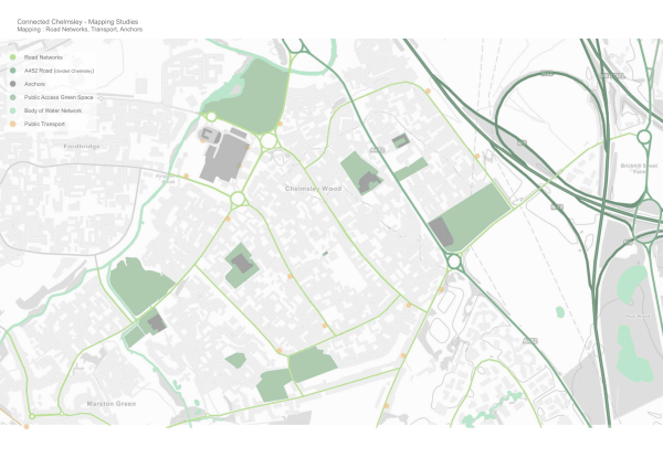
The map above identifies one of the key aspects of Chelmsley, the primary road network that connects the different areas of Chelmsley, whilst also giving an indication of the division of territory and communities. Connectivity of the public transport available within Chelmsley is indicated by bus stops, and the key anchors linked to this network are identified.
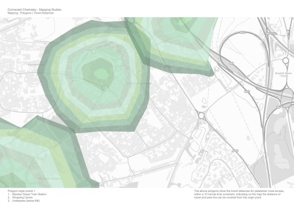
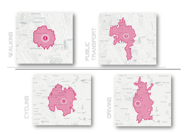
Linking to the notion of networks, the map above looks at the existing pedestrian routes and how they translate into distances that people can travel on foot from a given origin point, taking into consideration the road/ path networks that exist and their impact upon the distance that can be covered on foot. These travel distances are represented through the polygons, each showing the distance that can be covered within 10 mins from the origin location.
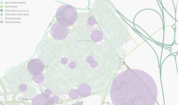
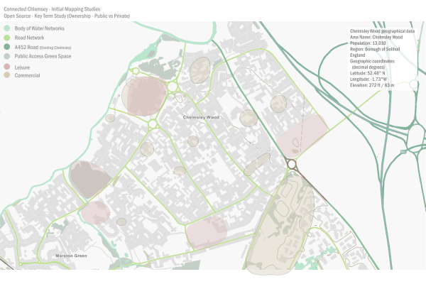
The map above identifies public and private ownership within Chelmsley.
The map above looks at another approach to looking at ownership of the places in Chelmsley Wood.
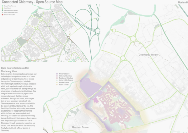
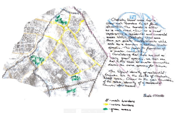
Linking to the notion of networks and territories of the communities, the map above explores place identity, showing the areas of core recognition and spaces which are valued by the community, as well as areas of reframe and maintain areas of place identity. Through this we base it around what places are identified as Chelmsley for those residents living within it.
The map above looks at the notion of place identity through traces left over time, with a focus on open source. The map shows the areas with a strong place identity, with areas that have been preserved to retain their existing roles within the community and, in turn, acting as anchors of core recognition to the community.— Identifying Residential and Educational buildings, division through boundaries & social anchors.
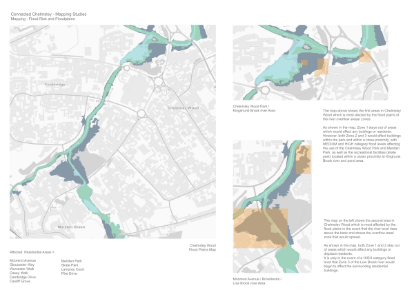
As identified in the previous map the areas of a strong place identity. The map above exhibits the flood plains in Chelmsley, and shows how areas of a strong place identity are impacted upon by the Kingshurst Brook and Small Brook which run between Chelmsley Wood, Fordbridge and Marston Green. Both areas which are most affected hold a strong place identity, the original woodland and the protected Alcott Wood and early housing to the area.
–

You must be logged in to post a comment.